


TIC, Information and Communication Technology
Principal Investigator
Angel Diego Priegue Mayan

The TIC Group at CIMNE pioneers applied ICT innovation, leveraging advanced technologies like AI, IoT, Blockchain, and GIS to develop smart solutions and decision support systems across diverse engineering fields.
CIMNE’s Information and Communication Technology (TIC) research group, part of the DIGIT Innovation Unit, conducts applied research and technology transfer to address complex challenges in engineering and science through digital innovation. The group specialises in the integration of artificial intelligence, internet of things (IoT), geospatial information systems (GIS), and modern web and mobile platforms. These technologies are combined with domain-specific knowledge and numerical modelling to develop intelligent, data-driven solutions with measurable impact in sectors such as civil infrastructure, environmental risk management, mobility, and health.
TIC’s research lines span advanced computer vision, predictive maintenance, data analytics, and hybrid artificial intelligence. In computer vision, the group develops systems for object detection, tracking, and semantic labelling in dynamic environments, enabling real-time monitoring in scenarios such as occupational safety and aquatic risk prevention. These visual systems offer a scalable and cost-effective alternative—or complement—to traditional IoT hardware. In parallel, their work in data analytics focuses on time-series forecasting and unsupervised anomaly detection, applied to both sensor networks and enterprise data. Large Language Models (LLMs) are also employed to extract structured insights from unstructured sources, enhancing decision-making and operational intelligence. Hybrid AI methods combine real and synthetic data—generated through simulations—to train more robust and generalisable models, particularly valuable in safety-critical or data-scarce contexts.
In the IoT domain, the group develops modular cloud-based and on-premise platforms for device management, data integration, and edge computing. These platforms support heterogeneous sensor networks and allow the fusion of sensor, contextual, and third-party data sources to enable real-time monitoring and system control. GIS technologies are tightly integrated into these solutions, providing spatial analysis and geovisualisation capabilities for applications such as land-use planning, infrastructure monitoring, and environmental modelling. The group’s expertise in combining geoinformatics, simulation and web development enables the delivery of spatially-aware decision-support tools tailored to the needs of stakeholders.
TIC also designs and develops scalable, cross-platform web and mobile applications adapted to engineering and scientific environments. These platforms support responsive interaction across devices and integrate features such as real-time data visualisation, external API connections, and dynamic user interfaces. Mobile apps developed by the group incorporate embedded sensor data (e.g. GPS, accelerometers) to enable field-based monitoring and citizen engagement. These digital interfaces are used in areas ranging from health and tourism to mobility and infrastructure, and are designed to interoperate seamlessly with backend systems and analytics engines, providing intuitive access to complex digital ecosystems.


Research areas
Artificial Intelligence and Computer Vision
Development of machine learning and deep learning models for object detection, tracking, semantic labelling, and behaviour analysis in dynamic environments. Application to safety, health, and infrastructure monitoring.
Data Analytics and Predictive Maintenance
Implementation of forecasting models and anomaly detection techniques for time-series data from sensors and enterprise systems. Focus on robustness, early warning, and integration into operational platforms.
Hybrid Artificial Intelligence (IAH)
Integration of simulation-generated data and physics-informed models into AI workflows to improve learning under uncertainty. Application in safety-critical domains with limited real-world data.
Geospatial Technologies and GIS
Development of interactive GIS platforms combining spatial data, simulation results, and sensor information for territorial analysis, urban planning, and environmental decision-making.
IoT Architectures
Design and deployment of cloud-based and on-premise platforms for managing heterogeneous sensor networks, supporting real-time data acquisition, edge processing, and integration with AI systems.
Web and Mobile Applications
Development of responsive and cross-platform web/mobile applications for data visualisation, field monitoring, and user interaction. Integration of mobile sensors and APIs for use in health, tourism, and mobility contexts.
Featured Projects

LAIF: Leveraging AI to Prevent Drownings at Sea
LAIF is an advanced predictive aquatic surveillance system developed through collaboration between CIMNE and Pro-activa Serveis Aquàtics, with support from the Catalan Business Competitiveness Agency (ACCIÓ). This innovative technology combines Computer Vision and...
Ongoing projects
Finished projects
Related News

An affordable, practical and efficient tool for measuring human presence and its impact in natural environments
The growing overcrowding of natural areas may put ecosystem quality at risk. To assess anthropogenic impact in natural parks, a study by the International Centre for Numerical Methods in Engineering (CIMNE) and the University of Lleida (UdL) has proposed a simple,...
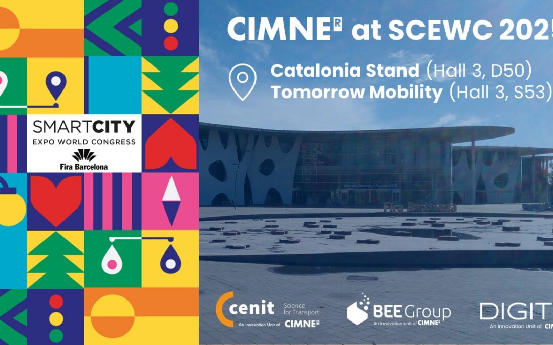
CIMNE at the Smart City Expo 2025: Innovation for Sustainable Cities
November 4-6, 2025 | Fira Gran Via, Barcelona CIMNE's Stand: Hall 3, D50 Tomorrow Mobility: Hall 3, S53 The International Centre for Numerical Methods in Engineering (CIMNE) features innovative simulation and smart solutions in this year's edition of the Smart City...